It isn't easy to convey geologic processes or concepts without using photographs, geologic maps, or illustrations. For that reason, the articles I have written and the presentations I have given over the years contain an abundance of photographs. Most of my photographs illustrate geologic features taken as part of specific projects. However, since I was often working in some of the most scenic areas in North Dakota, the badlands, major buttes, and other areas of rugged beauty in western North Dakota, I occasionally took photographs of the local scenery.
— State Geologist, Ed Murphy
Browse through a sample of our fieldwork, geologic feature, and scenery images from across North Dakota.
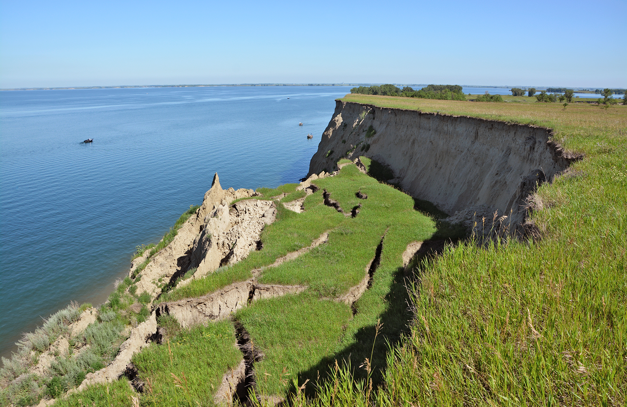
Slump block on Lake Sakakawea near Riverdale, North Dakota. Photo credit: Fred Anderson, NDGS Geologist
A tonstein occurs near the middle of the 6.5-foot thick H bed above the Rhame bed silcrete, representing the contact of the Bullion Creek and Slope Formations. Photo credit: Levi Moxness, NDGS Geologist
Near the Little Missouri River in Western North Dakota. Photo credit: Ed Murphy, State Geologist
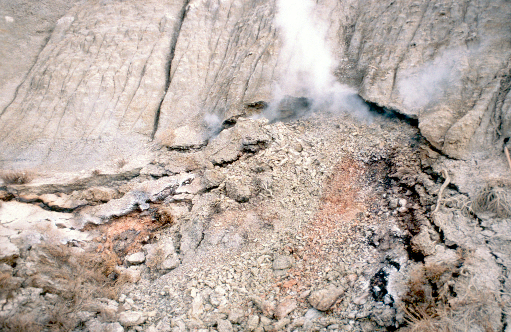
A burning coal seam in Billings County, ignited by the Buck Hill fire, emits smoke and is baking the overlying rock as evidenced by scattered clinker. The picture was taken in December 1988; five months after the seam began burning. Photo credit: Ed Murphy, State Geologist
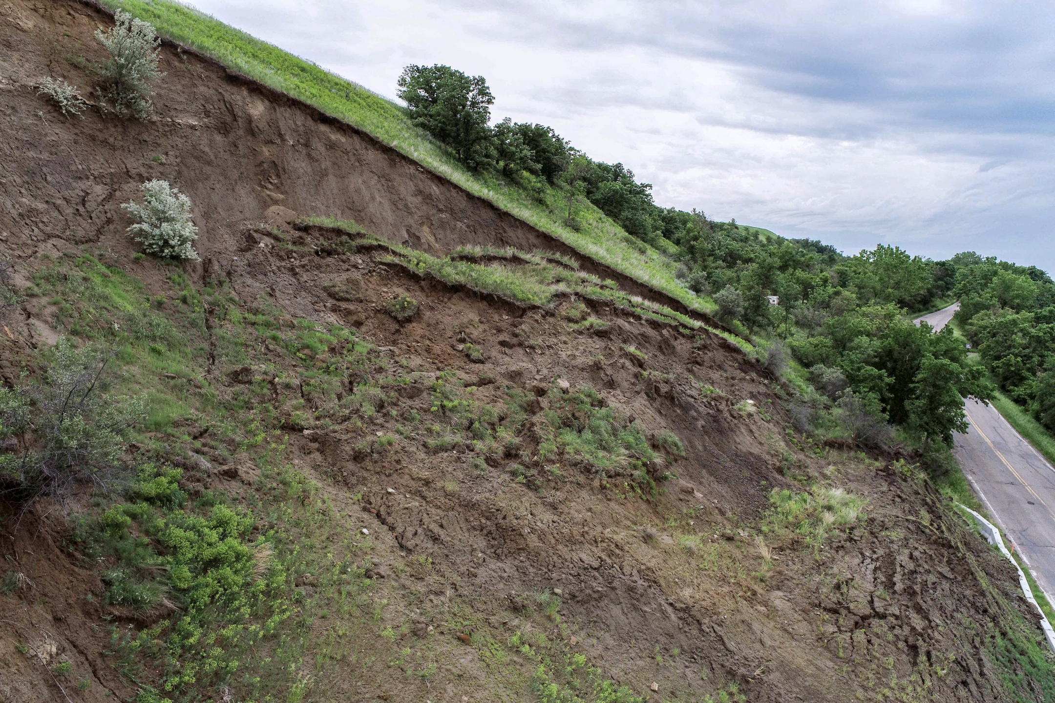
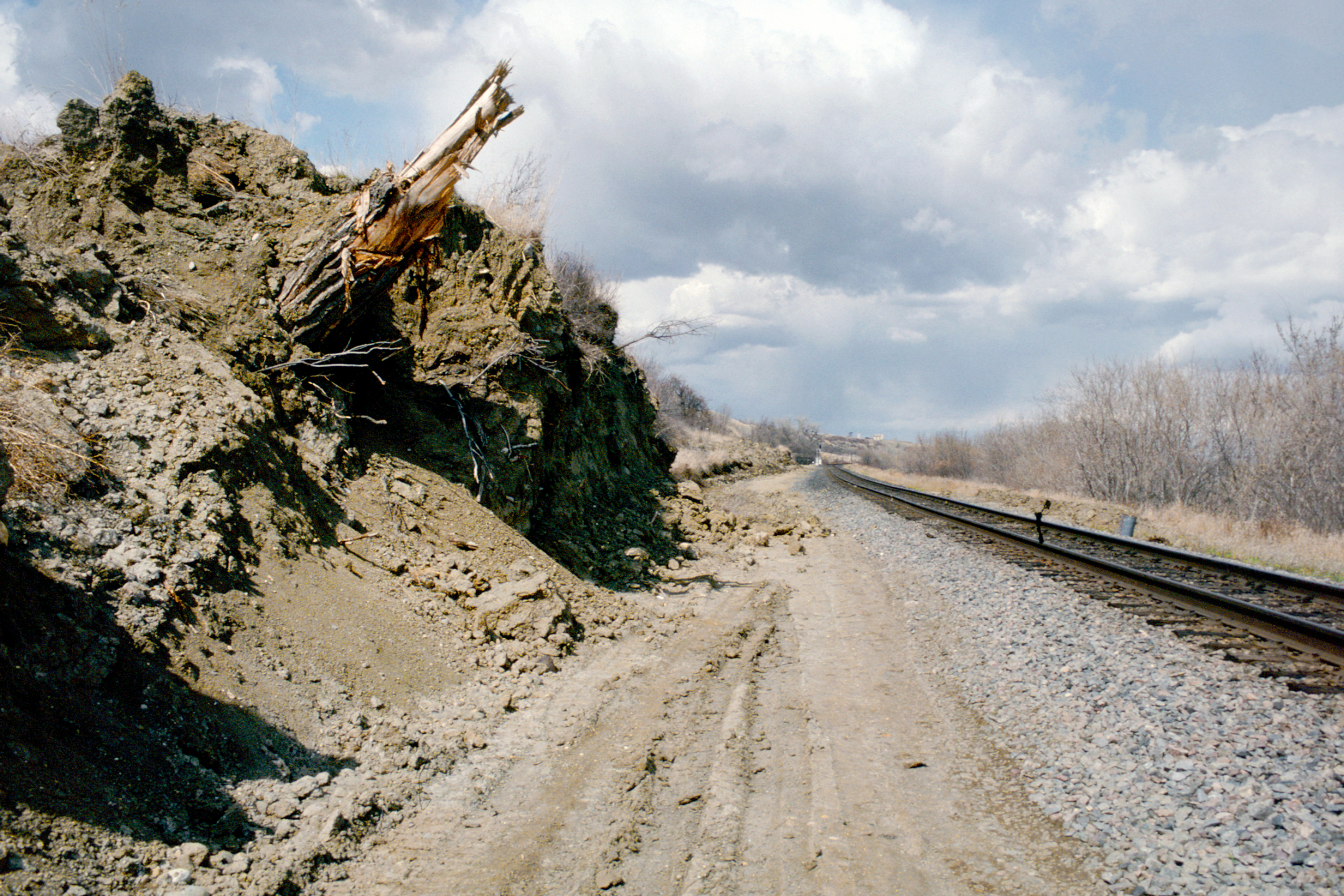
Landslide along River Road in NW Bismarck, North Dakota. Photo credit: Levi Moxness, NDGS Geologist
Yellow-brown sandstone grades upwards into sandy mudstone of the lowermost Hell Creek Formation in western Bowman County, North Dakota. Photo credit: Levi Moxness, NDGS Geologist
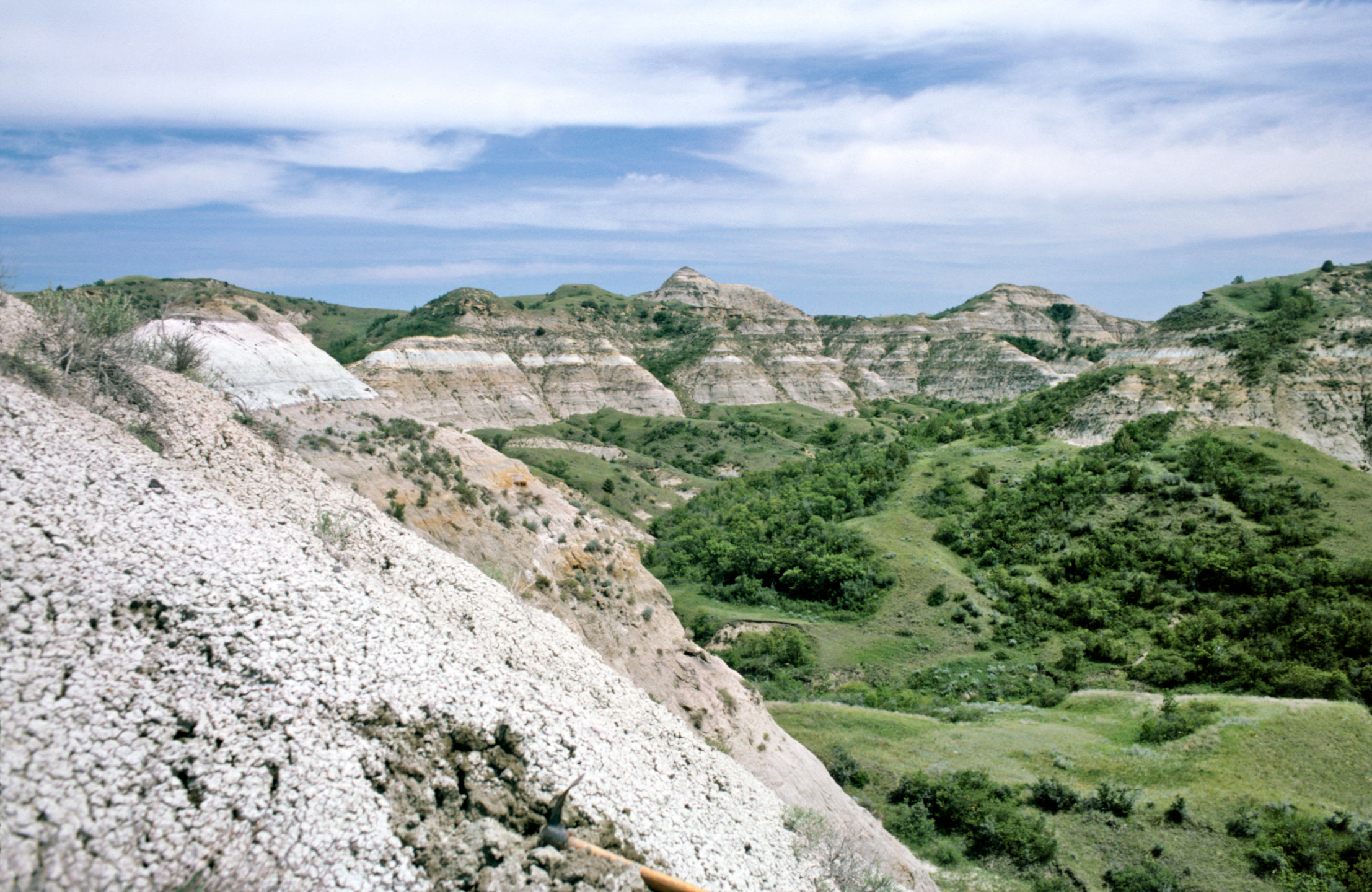
Theodore Roosevelt National Park North Unit. Photo credit: Ed Murphy, State Geologist
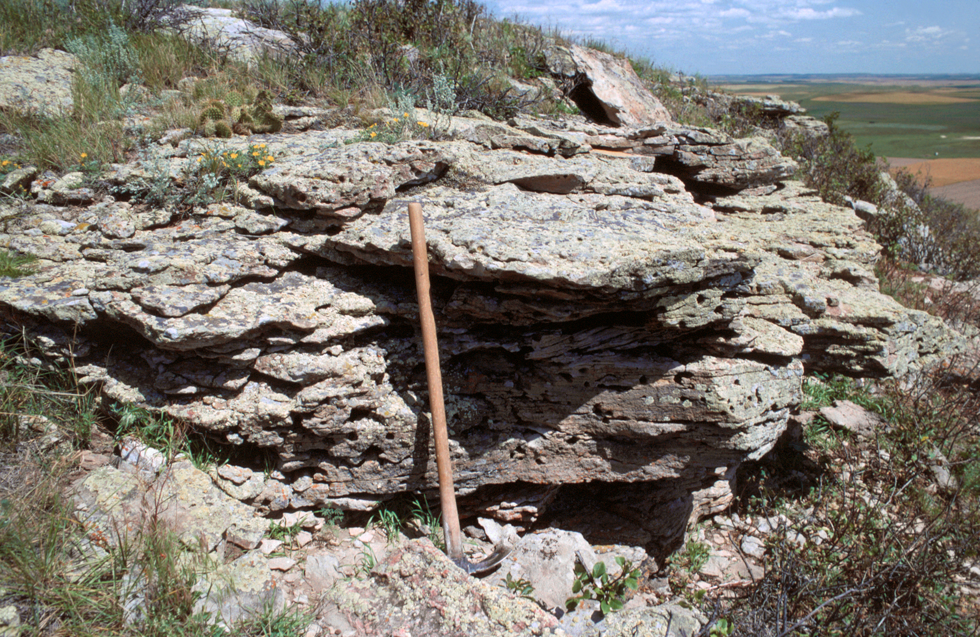
The Rhame bed outcrops, east of Logging Camp Ranch in Slope County. Photo credit: Levi Moxness, NDGS Geologist
Theodore Roosevelt National Park. Photo credit: Levi Moxness, NDGS Geologist
View to the north of an outcrop of weakly‐bedded Sentinel Butte Formation sandstone in central McKenzie County. Photo credit: Levi Moxness, NDGS Geologist
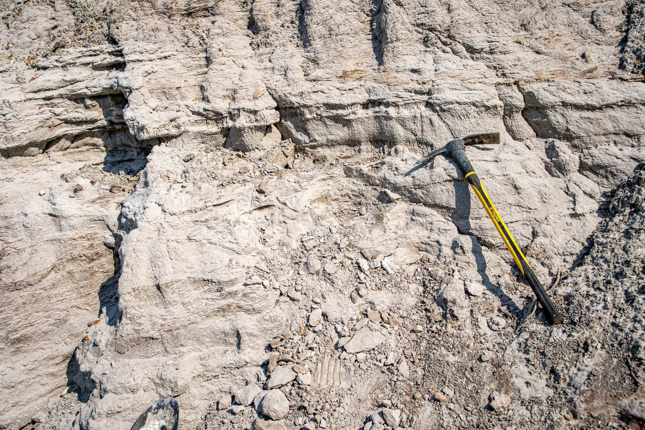
Photo credit: Levi Moxness, NDGS Geologist
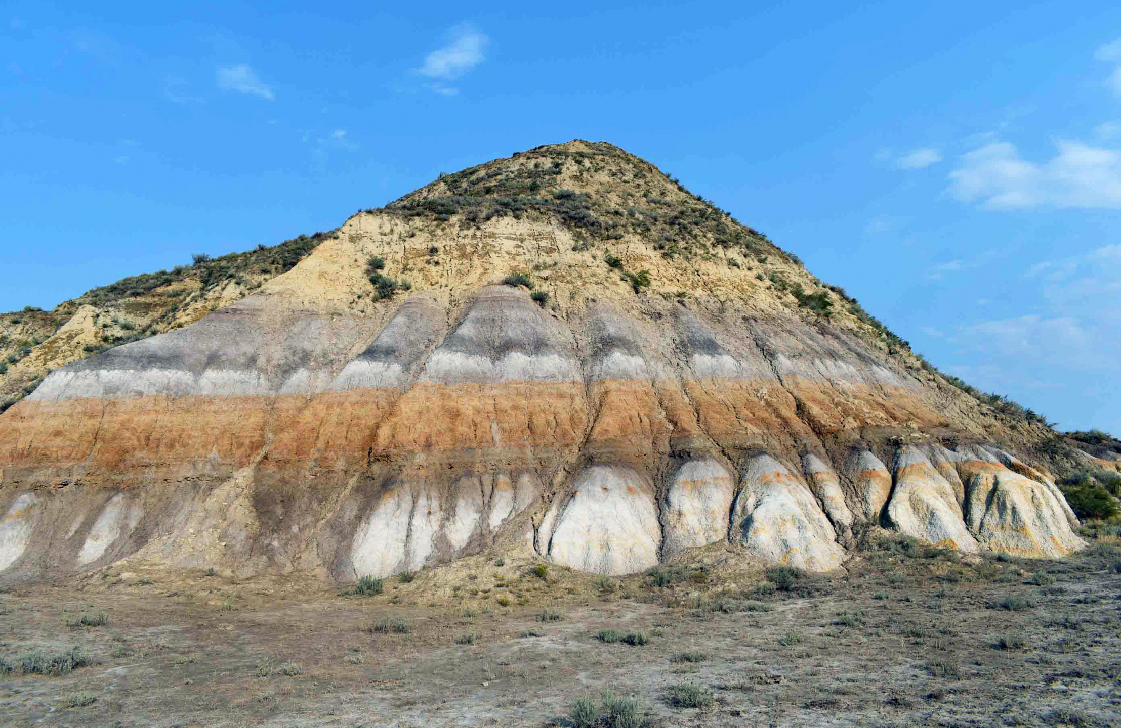
Photo credit: Levi Moxness, NDGS Geologist
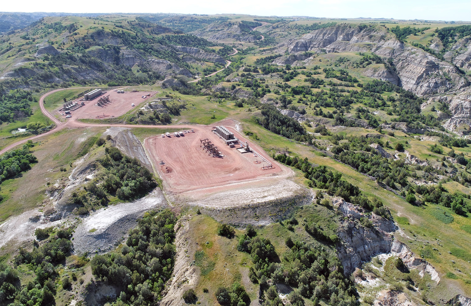
A drone photograph of a two-pad well site situated in the Little Missouri River badlands in
Dunn County. Everything to the right (north) of the pads to the base of the cliff face is comprised
of old landslides.
Golden Valley Formation. Photo credit: Ed Murphy, State Geologist
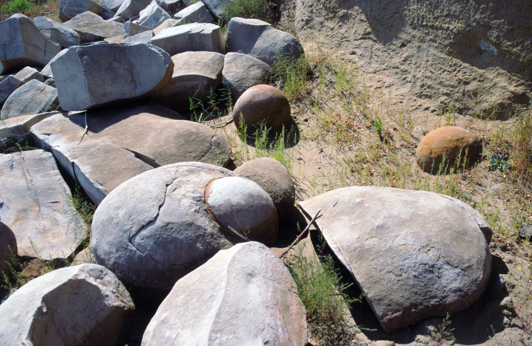
Concretions at the mouth of the Cannonball River. Photo credit: Ed Murphy, State Geologist
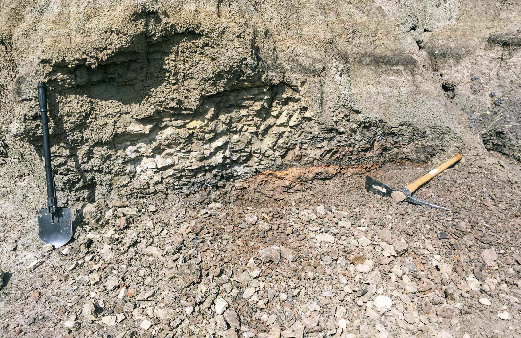
Photo credit: Levi Moxness, NDGS Geologist
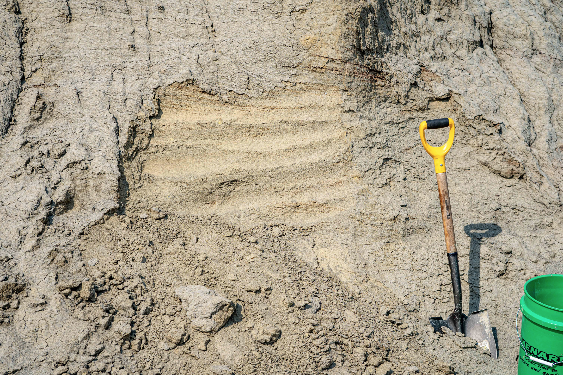
Photo credit: Levi Moxness, NDGS Geologist
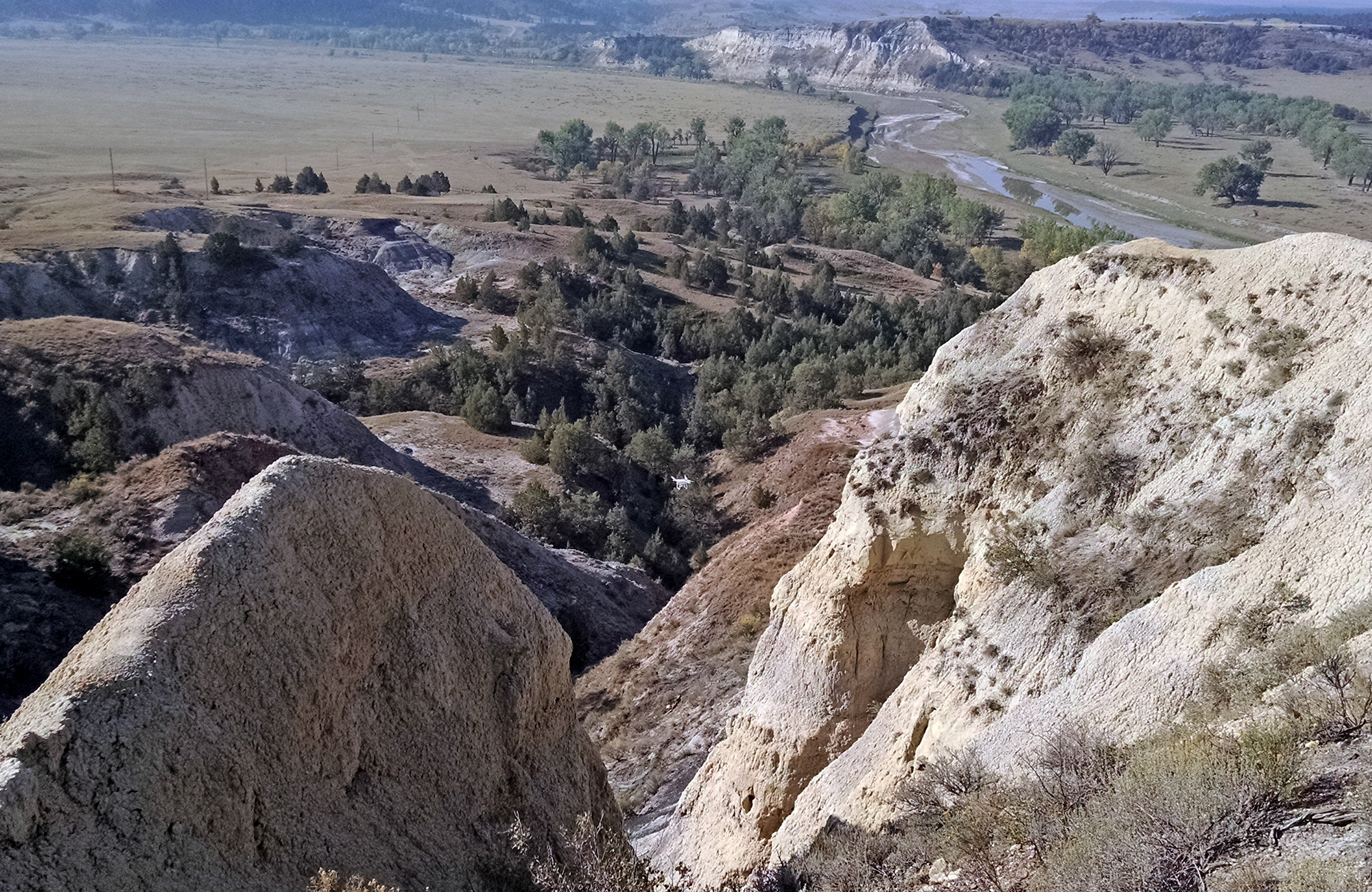
During fieldwork, geologists often ascend/descend steep and sometimes treacherous ravines and outcrops. The NDGS drone (center) is used to scout these areas to ensure they are safe and passable.
Camels Butte Member of the Golden Valley Formation. Photo credit: Ed Murphy, State Geologist
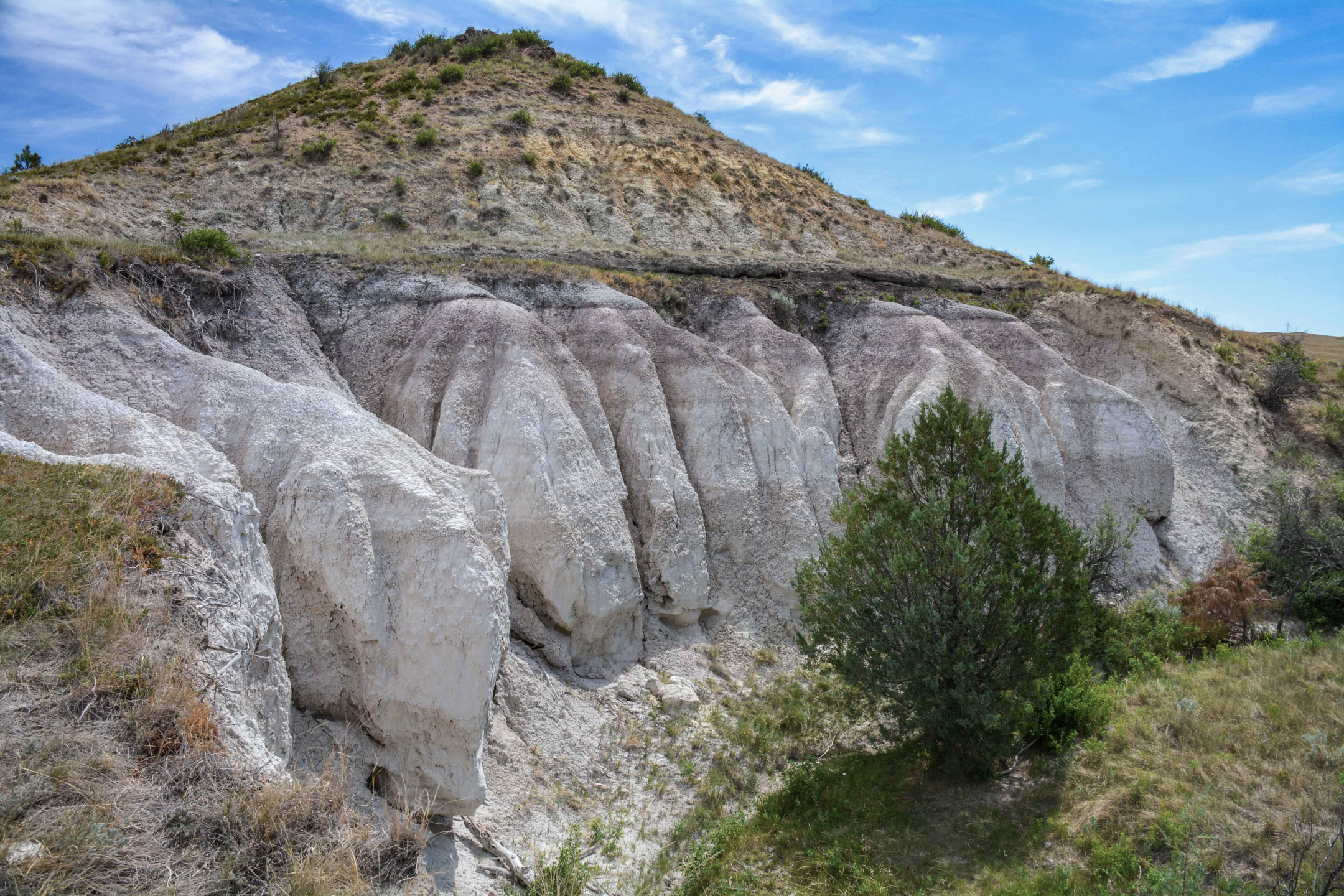
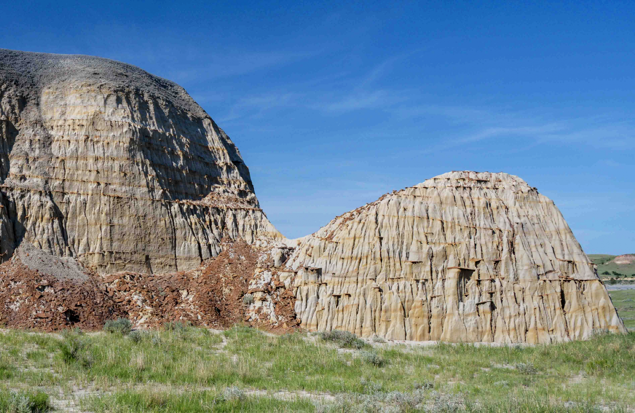
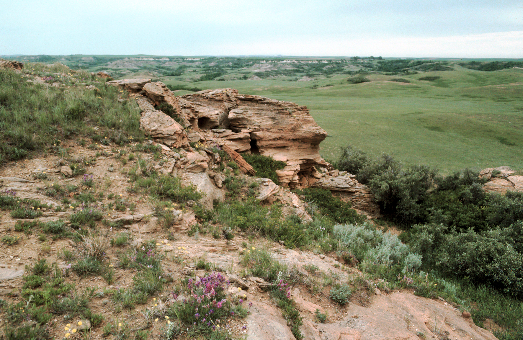
Light gray to buff sandstones of the Colgate Member (Fox Hills Formation) exhibiting a distinct castellate weathering pattern in southwestern Bowman County, North Dakota. Photo credit: Levi Moxness, NDGS Geologist
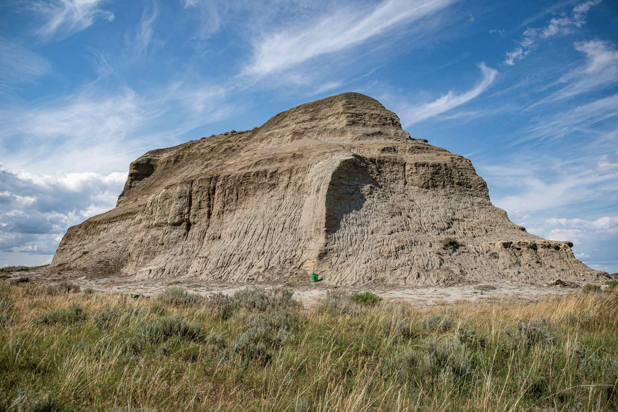
Butte in Adams County, North Dakota. Photo credit: Ed Murphy, State Geologist
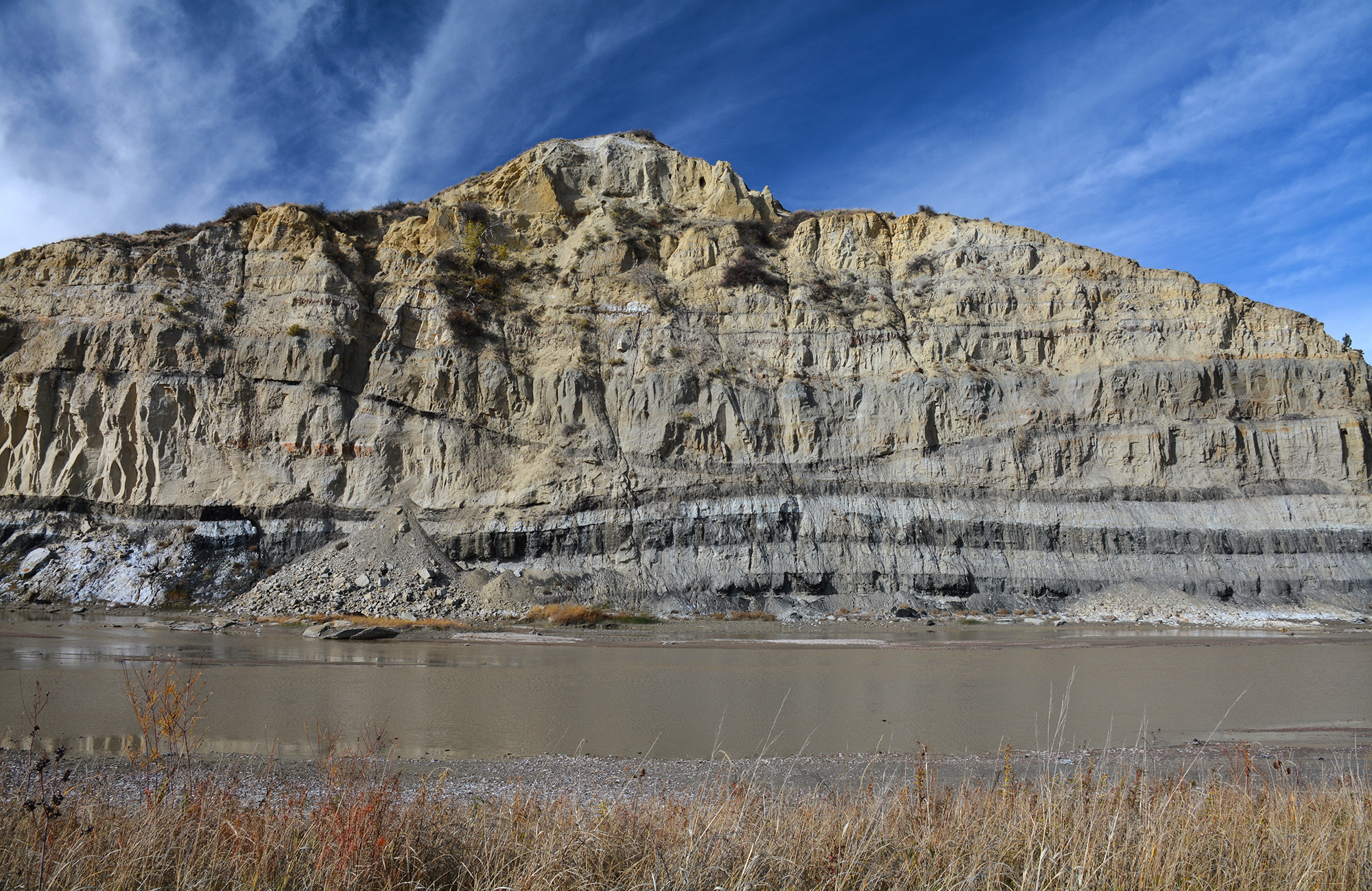
Photo credit: NDGS
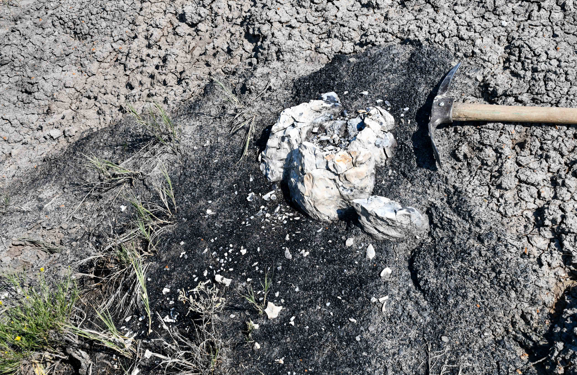
Photo credit: Levi Moxness, NDGS Geologist
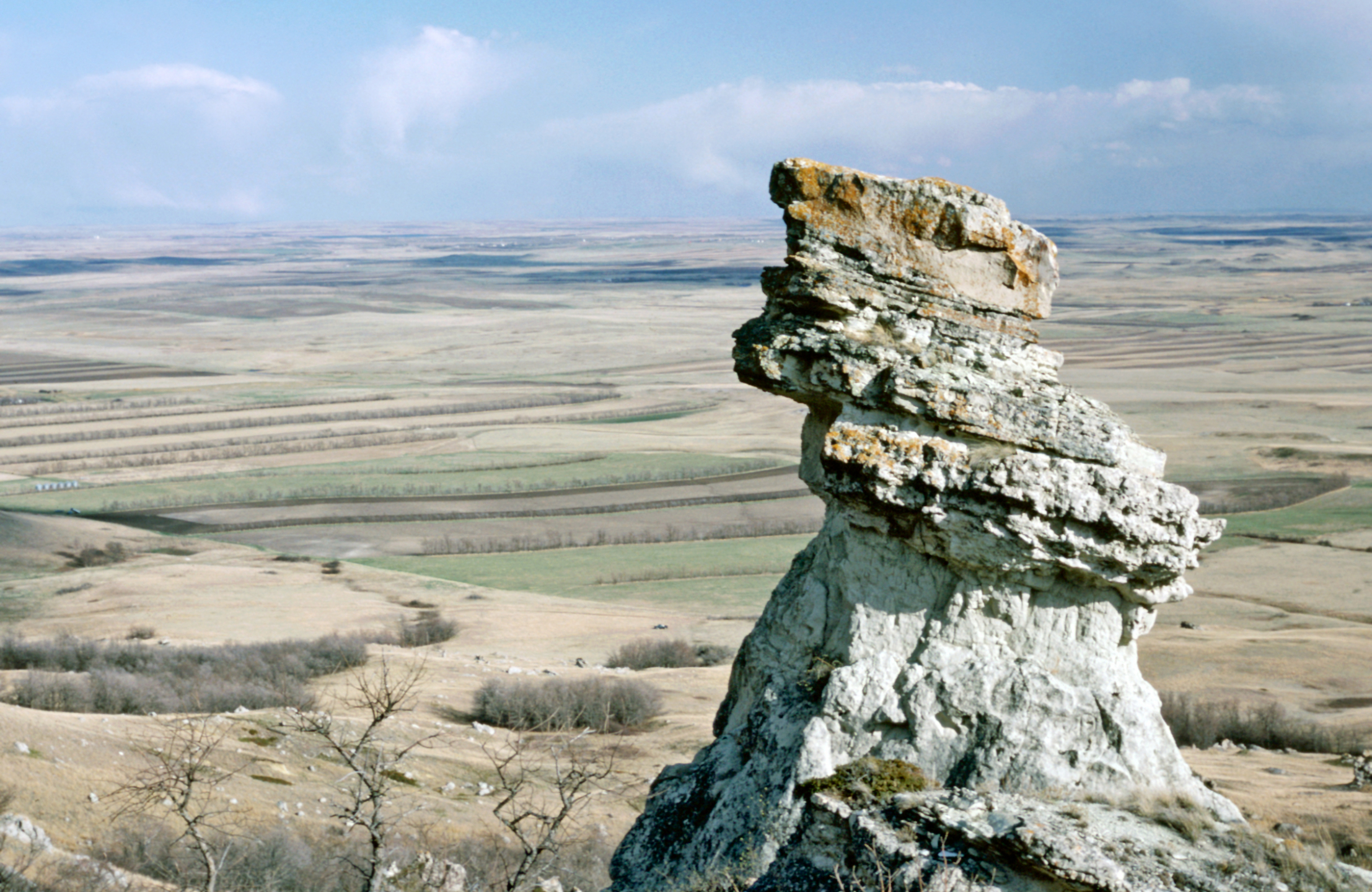
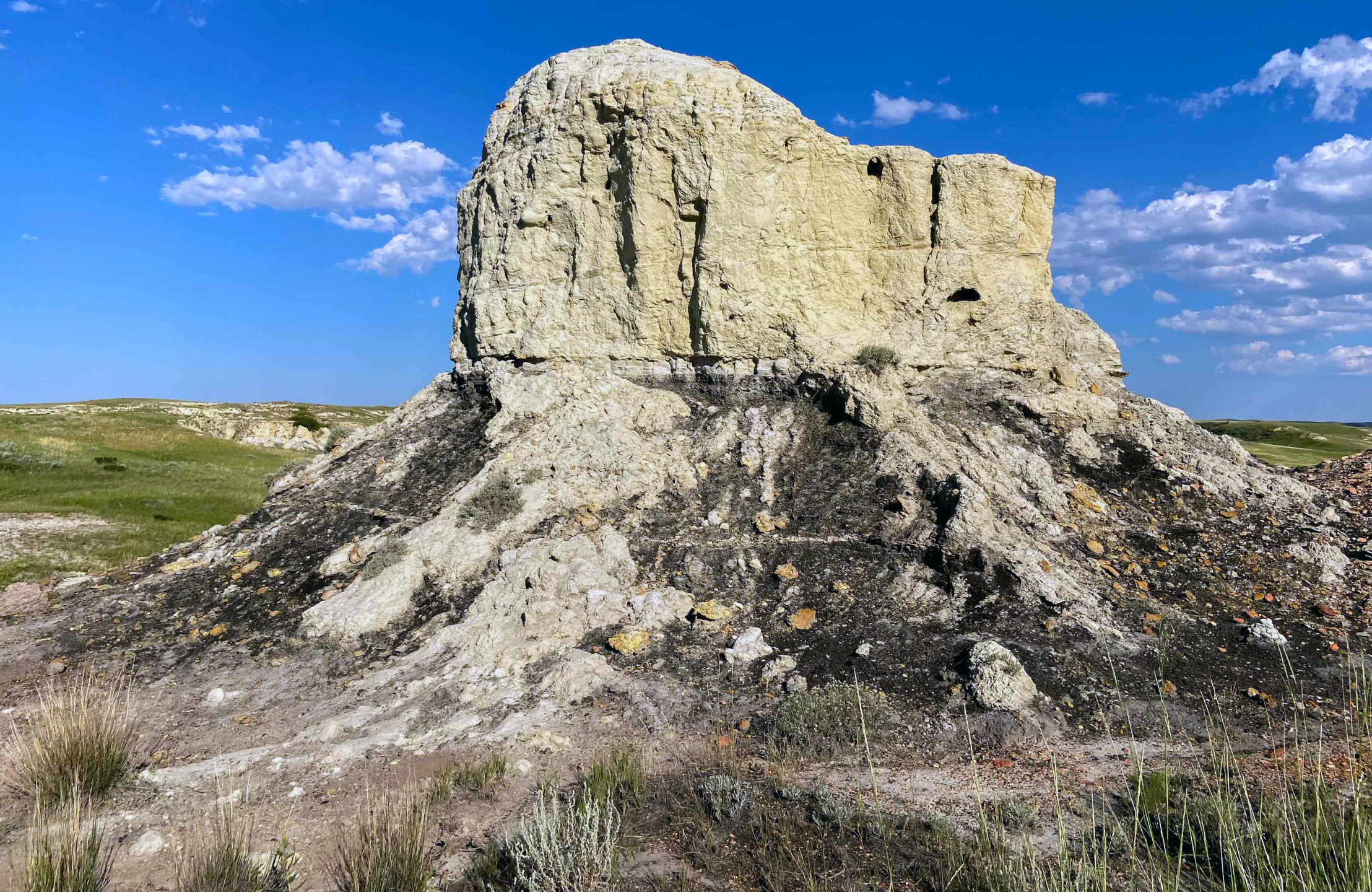
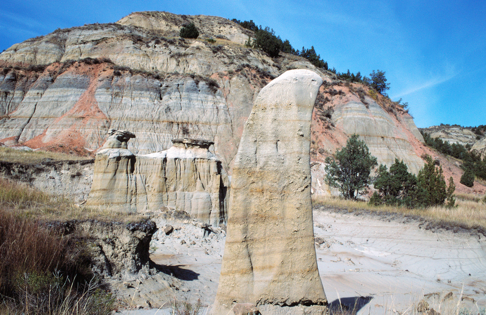
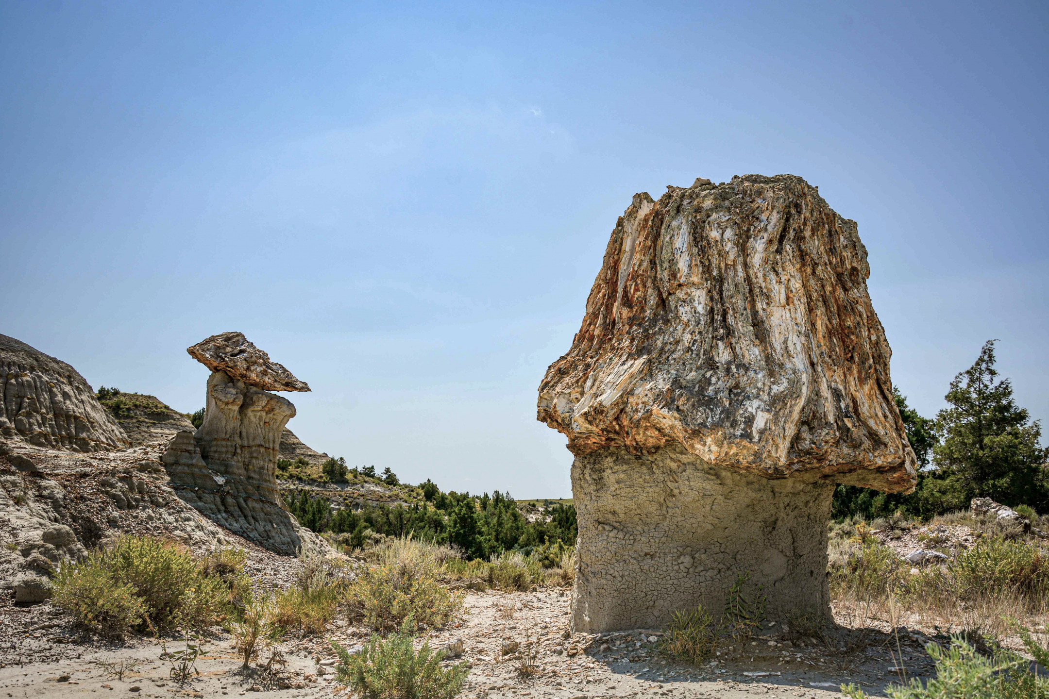
Pedestal Rock in the Killdeer Mountains, Dunn County. The photo was taken looking southeast from the Medicine Hole Plateau. Pedestal Rock was formed when a carbonate and sandstone block broke from South Killdeer Mountain's south slope. Photo credit: Ed Murphy, State Geologist
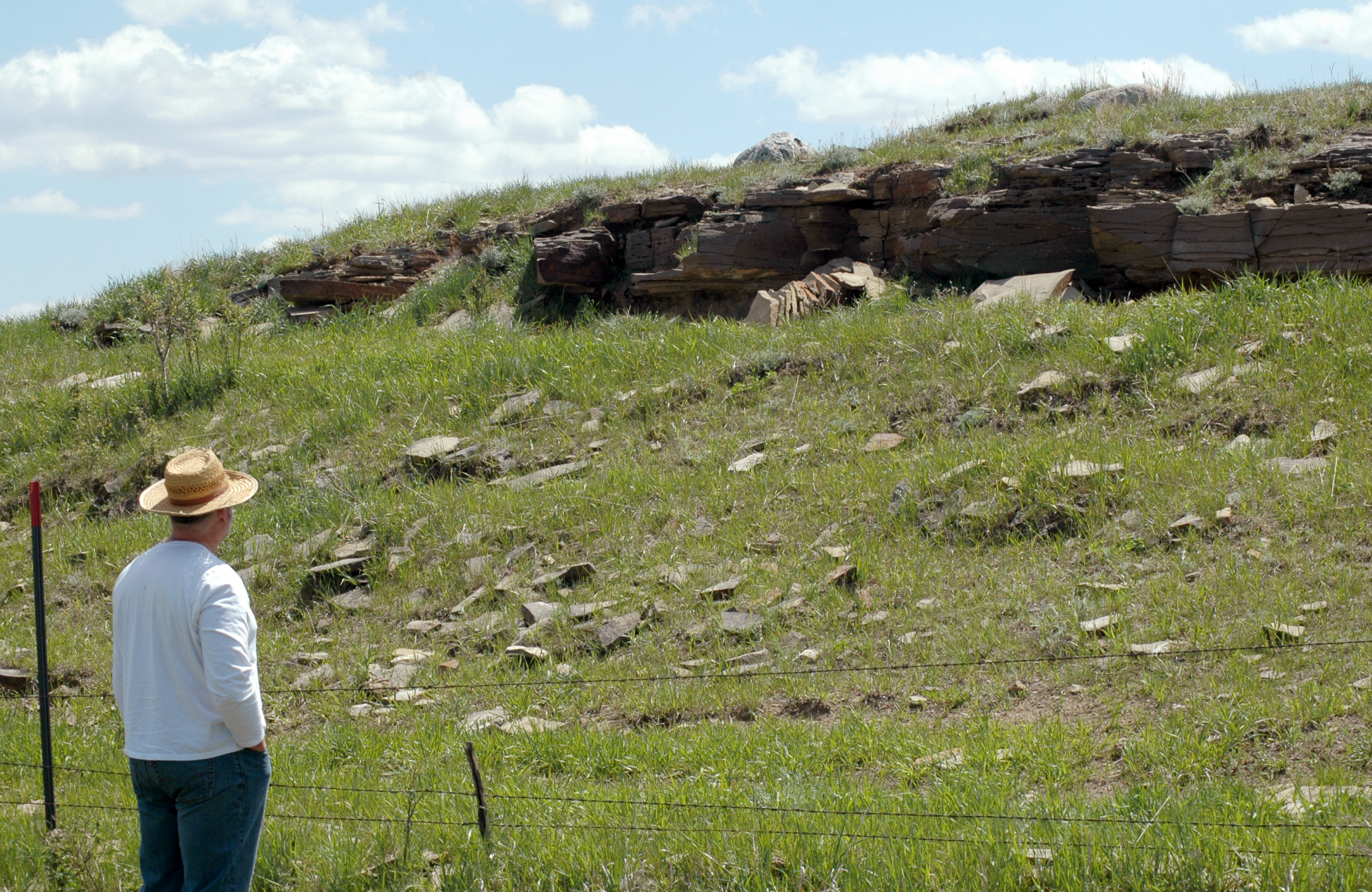
NDGS geologist looking up at a Fox Hills outcrop east of Long Lake, near Moffit, North Dakota. Photo credit: Benjamin York, NDGS Geologist
Landslide near Williston, North Dakota. Photo credit: Ed Murphy, State Geologist
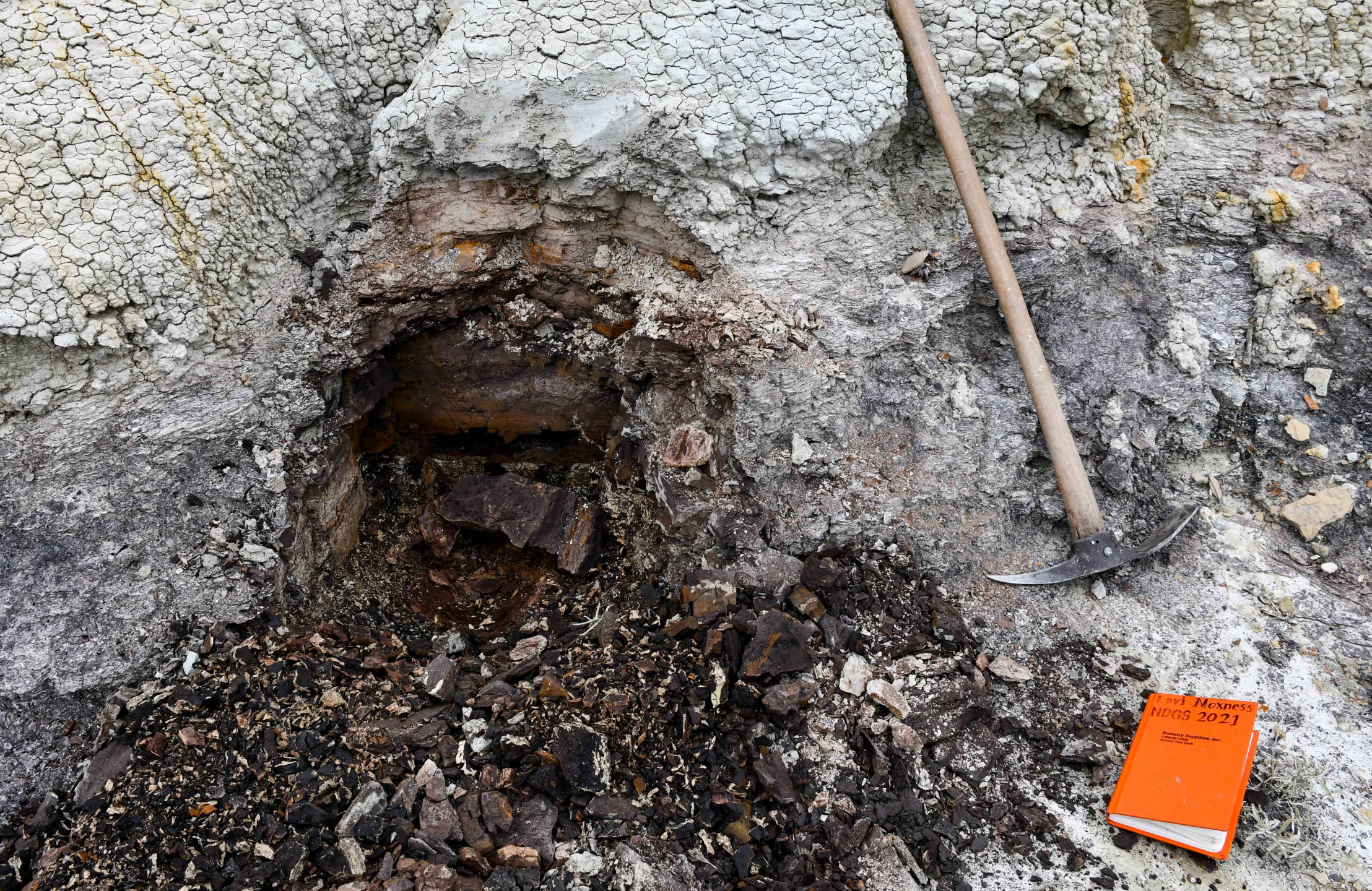
Photo credit: Levi Moxness, NDGS Geologist
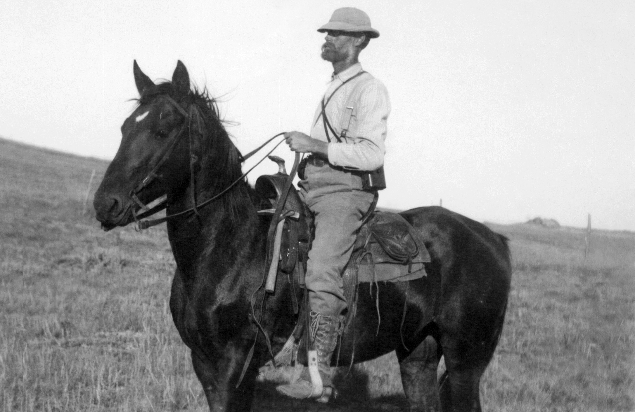
A.G. Leonard, NDGS State Geologist (1904-1932) and UND geology professor. Leonard worked on all aspects of the geology of North Dakota, but his primary focus in the field was on the lignite-bearing rocks in western North Dakota.
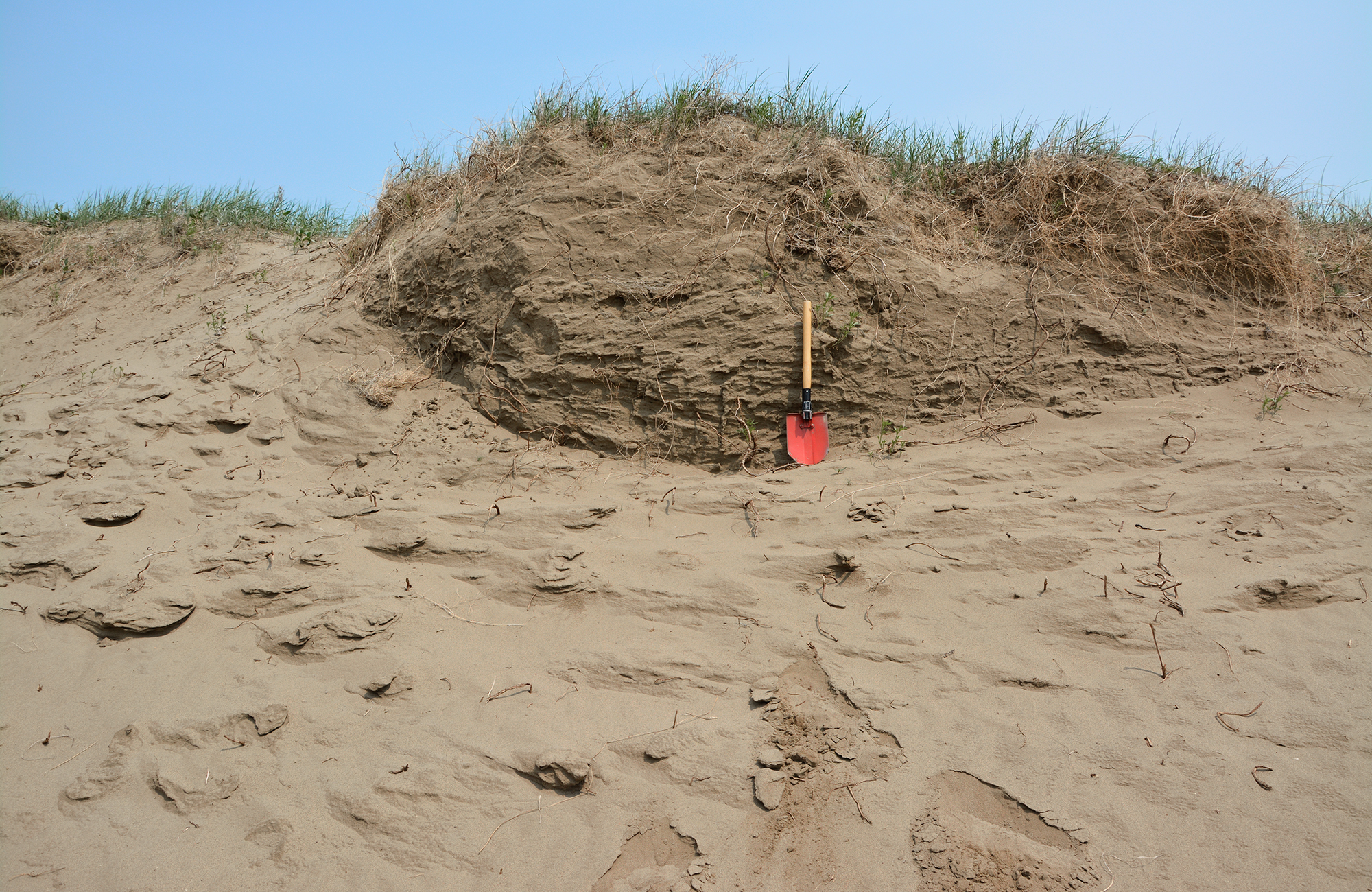
Sand dune with surface grasses southeast of Lincoln, North Dakota. Photo credit: Fred Anderson, NDGS Geologist
Photo credit: NDGS
Photos in this collection may be reproduced for non-commercial and educational purposes. When using the photos in a publication, website, or presentation, please credit the North Dakota Geological Survey. Additional photo credit information accompanies each photo.